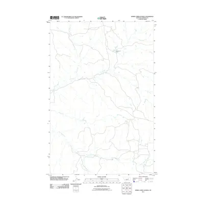
2011 Map of Spring Creek School
USGS Topo · Published 2011About this map
Nancy Russell Creek and its tributary Dry Fork Nancy Russell Creek define the drainage patterns across this Garfield County landscape. The area is characterized by an intricate network of coulees and intermittent watercourses, typical of the Missouri River break country. The presence of the 7-B Reservoir Dam on an unnamed drainage indicates the region's reliance on water management for ranching and livestock. Topography is marked by numerous north-flowing streams, including Spring Creek, Indian Creek, and Wolf Creek, which have carved distinctive paths through the high plains. While the map bears the name of a local schoolhouse, the primary features remain the landforms and the essential water infrastructure required for survival in this arid environment.
Find a feature on this map
6 named features on this map. Tap any name to fly to it.
Don’t see what you’re looking for? This feature index may not catch every label — zoom into the map to look around manually.
Map Details
Editions of this 2011 Spring Creek School Map
This is the sole edition of this map. No revisions or reprints were ever made.
Other maps of this area

1954 · Jordan
USGS Topo · 1:250,000

1956 · Jordan
USGS Topo · 1:250,000

1958 · Jordan
USGS Topo · 1:250,000

1964 · Jordan
USGS Topo · 1:250,000

1965 · Spring Creek School
USGS Topo · 1:24,000

1965 · Lost Creek
USGS Topo · 1:24,000

1965 · Cap Rock Butte
USGS Topo · 1:24,000

1965 · Pine Grove School
USGS Topo · 1:24,000
1967 · Hay Coulee
USGS Topo · 1:24,000
1967 · Benzien
USGS Topo · 1:24,000