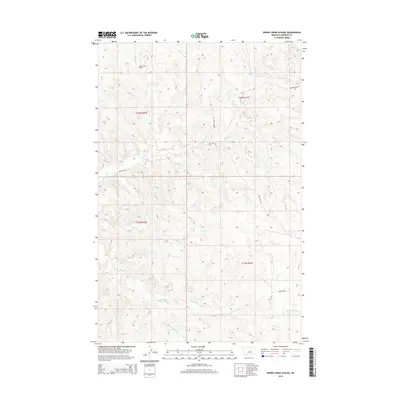
2014 Map of Spring Creek School
USGS Topo · Published 2014About this map
Spring Creek School sits in the northern reaches of this Garfield County landscape, a vital landmark in a territory defined by its complex drainage systems and isolated homesteading infrastructure. The map reveals a land sculpted by water, where Spring Creek and Indian Creek carve their paths through the northern sections, while Wolf Creek and Nancy Russell Creek dominate the south. These seasonal watercourses are accompanied by the Dry Fork Nancy Russell Creek, indicating a terrain that undergoes significant changes during the runoff season.
Find a feature on this map
13 named features on this map. Tap any name to fly to it.
Don’t see what you’re looking for? This feature index may not catch every label — zoom into the map to look around manually.
Map Details
Editions of this 2014 Spring Creek School Map
This is the sole edition of this map. No revisions or reprints were ever made.
Other maps of this area

1954 · Jordan
USGS Topo · 1:250,000

1956 · Jordan
USGS Topo · 1:250,000

1958 · Jordan
USGS Topo · 1:250,000

1964 · Jordan
USGS Topo · 1:250,000

1965 · Spring Creek School
USGS Topo · 1:24,000

1965 · Lost Creek
USGS Topo · 1:24,000

1965 · Cap Rock Butte
USGS Topo · 1:24,000

1965 · Pine Grove School
USGS Topo · 1:24,000
1967 · Hay Coulee
USGS Topo · 1:24,000
1967 · Benzien
USGS Topo · 1:24,000