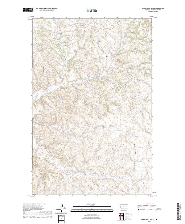
2024 Map of Spring Creek School
USGS Topo · Published 2024About this map
Nancy Russell Creek and its tributary, Dry Fork Nancy Russell Creek, carve through this central Garfield County landscape, illustrating a classic Montana drainage pattern of intermittent watercourses. The territory is defined by several prominent creek systems, including Spring Creek, Wolf Creek, and Indian Creek, which suggest the historical importance of water rights and grazing access in this remote ranching region. The modern road network is sparse, consisting of utilitarian routes like Burma Rd, Boxcar Rd, and the numerically designated 17356 Rd. These names often hint at the early 20th-century history of the area, where local infrastructure was frequently named for landmarks or rail-related features. This 2024 map provides a precise record of the current topography and section lines within the townships of T19N and T20N, preserving the names of local waterways that have likely guided land ownership for generations.
Find a feature on this map
12 named features on this map. Tap any name to fly to it.
Don’t see what you’re looking for? This feature index may not catch every label — zoom into the map to look around manually.
Map Details
Editions of this 2024 Spring Creek School Map
This is the sole edition of this map. No revisions or reprints were ever made.
Other maps of this area

1954 · Jordan
USGS Topo · 1:250,000

1956 · Jordan
USGS Topo · 1:250,000

1958 · Jordan
USGS Topo · 1:250,000

1964 · Jordan
USGS Topo · 1:250,000

1965 · Spring Creek School
USGS Topo · 1:24,000

1965 · Lost Creek
USGS Topo · 1:24,000

1965 · Cap Rock Butte
USGS Topo · 1:24,000

1965 · Pine Grove School
USGS Topo · 1:24,000
1967 · Hay Coulee
USGS Topo · 1:24,000
1967 · Benzien
USGS Topo · 1:24,000