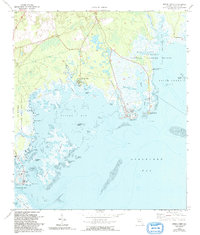
1972 Map of Spring Creek
USGS Topo · Published 1992About this map
Spring Creek sits at the heart of this coastal survey, where the freshwater output of Florida’s karstic landscape meets the tidal reaches of Apalachee Bay. The map documents a complex aquatic transition zone dominated by St Marks National Wildlife Refuge, featuring a vast network of salt marshes, mud flats, and tidal creeks like Walker Creek and Red Fish Creek. Coastal settlement is focused on distinct points and landings, including the established fishing and recreational areas at Shell Point and Live Oak Island.
Find a feature on this map
44 named features on this map. Tap any name to fly to it.
Don’t see what you’re looking for? This feature index may not catch every label — zoom into the map to look around manually.
Map Details
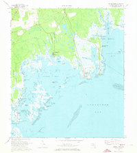
Editions of this 1972 Spring Creek Map
2 editions found
Other maps of this area

1940 · Arran
USGS Topo · 1:62,500

1943 · Arran
USGS Topo · 1:62,500

1943 · St. Teresa Beach
USGS Topo · 1:24,000

1943 · Lighthouse Point
USGS Topo · 1:24,000

1945 · Lighthouse Point
USGS Topo · 1:31,680

1945 · St Teresa
USGS Topo · 1:31,680

1949 · Apalachicola
USGS Topo · 1:250,000

1954 · Sprague Island
USGS Topo · 1:24,000

1954 · St. Marks
USGS Topo · 1:24,000

1954 · Tallahassee
USGS Topo · 1:250,000