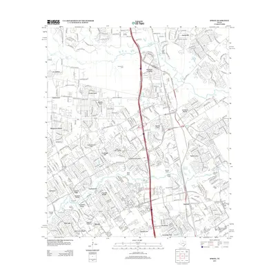
2013 Map of Spring
USGS Topo · Published 2013About this map
Spring Cr and Cypress Cr define the hydrological character of this north Houston landscape, where suburban expansion meets historical industrial pockets. The region is marked by an extensive network of residential developments, including Bridgestone Ranch, Timber Lane, and Ponderosa Forest, interspersed with legacy features like the Bender Oil Field and Rotherwood Oil Field.
Find a feature on this map
339 named features on this map. Tap any name to fly to it.
Don’t see what you’re looking for? This feature index may not catch every label — zoom into the map to look around manually.
Map Details
Editions of this 2013 Spring Map
This is the sole edition of this map. No revisions or reprints were ever made.
Other maps of this area

1916 · Aldine
USGS Topo · 1:24,000

1916 · Louetta
USGS Topo · 1:24,000

1916 · Satsuma
USGS Topo · 1:24,000

1916 · Humble
USGS Topo · 1:24,000

1916 · Spring
USGS Topo · 1:24,000

1919 · Aldine
USGS Topo · 1:31,680

1919 · Humble
USGS Topo · 1:31,680

1919 · Weeden
USGS Topo · 1:31,680

1920 · Spring
USGS Topo · 1:31,680

1920 · Louetta
USGS Topo · 1:31,680