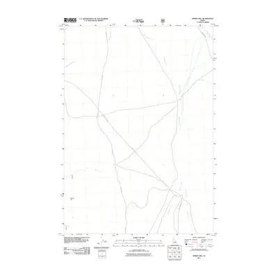
2011 Map of Spring Hill
USGS Topo · Published 2011About this map
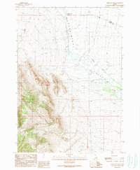
Pahsimeroi River defines the drainage pattern of this high-altitude valley, flowing north through a landscape marked by seasonal watercourses and Forest Service access roads. The settlement at Spring Hill anchors the western edge of the quadrangle, situated near the headwaters of Doublespring Creek. This area illustrates the intersection of public land management and rural ranching infrastructure, where the Donkey Hills Rd provides a major transit corridor across the valley floor. To the east, the topography shifts towards the drainages of Goldburg Creek and Burnt Creek, traced by Burnt Creek Rd and Goldburg Rd. The map documents a contemporary view of this interior Idaho range, where limited human footprints like NFD 118 Rd follow the natural contours of the basin.
Find a feature on this map
9 named features on this map. Tap any name to fly to it.
Don’t see what you’re looking for? This feature index may not catch every label — zoom into the map to look around manually.
Map Details
Editions of this 2011 Spring Hill Map
This is the sole edition of this map. No revisions or reprints were ever made.
Other maps of this area

1935 · Borah Peak
USGS Topo · 1:125,000

1938 · Borah Peak
USGS Topo · 1:125,000

1955 · Dubois
USGS Topo · 1:250,000

1956 · Donkey Hills
USGS Topo · 1:62,500

1956 · Doublespring
USGS Topo · 1:62,500

1958 · Dubois
USGS Topo · 1:250,000
1967 · Burnt Creek
USGS Topo · 1:24,000
1967 · Borah Peak
USGS Topo · 1:24,000
1967 · Short Creek
USGS Topo · 1:24,000
1989 · Mahogany Hill
USGS Topo · 1:24,000