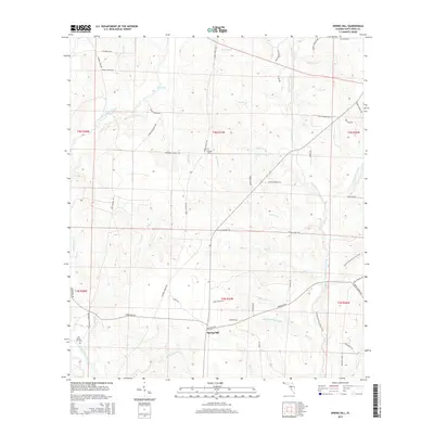
2015 Map of Spring Hill
USGS Topo · Published 2015About this map
Spring Hill anchors this landscape in northern Santa Rosa County, where the terrain is defined by a dense network of creek branches and historical transit routes. The settlement is flanked by significant local landmarks including the Old Spring Hill Cem and Sullivan Cem, providing valuable points of reference for genealogists and local historians. The area serves as a crossroads for both historical and modern travel, evidenced by the Florida National Scenic Trail winding through the eastern sections while old vehicle routes like the Three Notch Trl and Tomahawk Landing Rd follow the high ground between drainages.
Find a feature on this map
64 named features on this map. Tap any name to fly to it.
Don’t see what you’re looking for? This feature index may not catch every label — zoom into the map to look around manually.
Map Details
Editions of this 2015 Spring Hill Map
This is the sole edition of this map. No revisions or reprints were ever made.
Other maps of this area

1920 · Milton
USGS Topo · 1:62,500

1934 · Harold
USGS Topo · 1:62,500

1937 · Harold
USGS Topo · 1:62,500

1938 · Harold
USGS Topo · 1:62,500

1941 · Milton
USGS Topo · 1:62,500

1943 · Milton
USGS Topo · 1:62,500

1943 · Jay
USGS Topo · 1:62,500

1948 · Munson
USGS Topo · 1:62,500

1950 · Munson
USGS Topo · 1:62,500

1957 · Pensacola
USGS Topo · 1:250,000