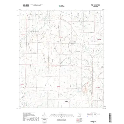
2021 Map of Spring Hill
USGS Topo · Published 2021About this map
The Spring Hill and Munson area of Santa Rosa County is defined by its intricate drainage network and modern recreational trails. Located within the larger ecosystem of the Blackwater River State Forest, the landscape is etched by dozens of tributaries including Big Juniper Creek, Sweetwater Creek, and East Fork Big Coldwater Creek. These watercourses historically supported local industry and subsistence, as evidenced by names like Earnest Mill Cr. Local history is preserved at the Old Spring Hill Cem and Sullivan Cem, which serve as quiet landmarks for genealogists and researchers. The map also documents a sophisticated network of forest management and recreation, featuring the Florida National Scenic Trl alongside specialized routes like the Coldwater Horse Trl and the Blackwater River State Forest Trails Trl. This documentation illustrates the modern balance between commercial timberlands and public conservation in the Florida Panhandle.
Find a feature on this map
74 named features on this map. Tap any name to fly to it.
Don’t see what you’re looking for? This feature index may not catch every label — zoom into the map to look around manually.
Map Details
Editions of this 2021 Spring Hill Map
This is the sole edition of this map. No revisions or reprints were ever made.
Other maps of this area

1920 · Milton
USGS Topo · 1:62,500

1934 · Harold
USGS Topo · 1:62,500

1937 · Harold
USGS Topo · 1:62,500

1938 · Harold
USGS Topo · 1:62,500

1941 · Milton
USGS Topo · 1:62,500

1943 · Milton
USGS Topo · 1:62,500

1943 · Jay
USGS Topo · 1:62,500

1948 · Munson
USGS Topo · 1:62,500

1950 · Munson
USGS Topo · 1:62,500

1957 · Pensacola
USGS Topo · 1:250,000