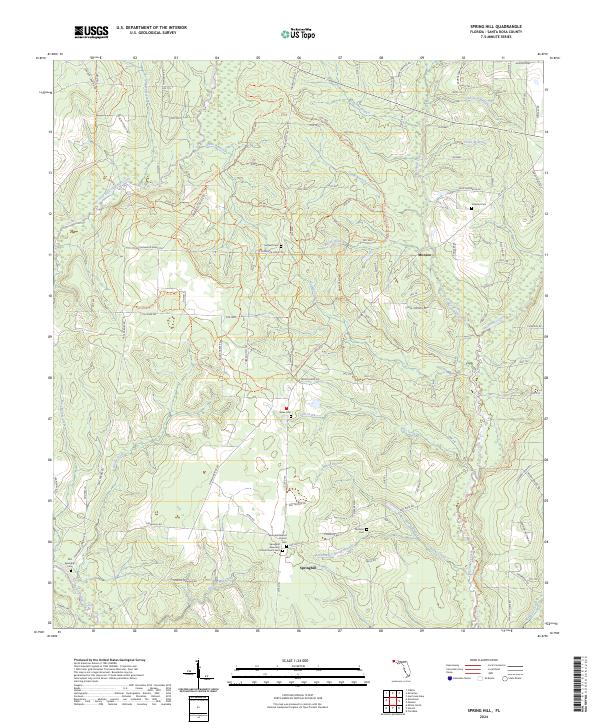
2024 Map of Spring Hill
USGS Topo · Published 2024About this map
The settlement of Springhill serves as a focal point in this portion of Santa Rosa County, where the congregation at Springhill Baptist Church and the nearby Springhill Assembly of God Church anchor the local community. The landscape is defined by the extensive trail networks of the Blackwater River State Forest, including the Blackwater River State Forest Trails Trl and the Coldwater Horse Trl. These paths navigate a terrain carved by numerous waterways like Big Coldwater Creek and Big Juniper Creek, which are fed by smaller tributaries such as Rattlesnake Spring Branch and Maria Branch. To the north, the small community of Munson sits near the junction of Munson Hwy and Co Rd 191, while the presence of the Old Springhill Cem and Sullivan Cem provide essential data points for those tracing local family lineages in this rural Florida corridor.
Find a feature on this map
81 named features on this map. Tap any name to fly to it.
Don’t see what you’re looking for? This feature index may not catch every label — zoom into the map to look around manually.
Map Details
Editions of this 2024 Spring Hill Map
This is the sole edition of this map. No revisions or reprints were ever made.
Other maps of this area

1920 · Milton
USGS Topo · 1:62,500

1934 · Harold
USGS Topo · 1:62,500

1937 · Harold
USGS Topo · 1:62,500

1938 · Harold
USGS Topo · 1:62,500

1941 · Milton
USGS Topo · 1:62,500

1943 · Milton
USGS Topo · 1:62,500

1943 · Jay
USGS Topo · 1:62,500

1948 · Munson
USGS Topo · 1:62,500

1950 · Munson
USGS Topo · 1:62,500

1957 · Pensacola
USGS Topo · 1:250,000