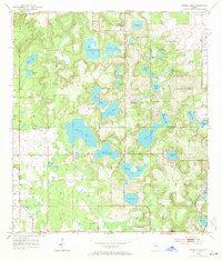
1954 Map of Spring Lake
USGS Topo · Published 1971About this map
Spring Lake and its surrounding wetlands define this mid-century Florida landscape, captured just before major residential expansion. This terrain is marked by a dense concentration of water bodies, including the expansive Hancock Lake, Mud Lake, and Lake Iola, reflecting the natural hydrology of the Hernando and Pasco county line. Small rural hubs such as Dixie and St Joseph are visible, serving as anchors for the local community. The map reveals the placement of essential local landmarks including the Bay Spring Sch and Mt Pleasant Ch, along with several family-named burial grounds like Johnson Cem and the Townsend House Cem. The presence of prominent elevations like Hickory Hill provides a rare topographic contrast to the numerous sinkhole-influenced ponds like Zuke Pond and Patsy Pond that dot the region.
Find a feature on this map
37 named features on this map. Tap any name to fly to it.
Don’t see what you’re looking for? This feature index may not catch every label — zoom into the map to look around manually.
Map Details
Editions of this 1954 Spring Lake Map
5 editions found
Other maps of this area

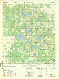
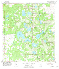
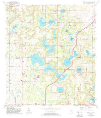
1954 · Spring Lake
USGS Topo · 1:24,000

1954 · Ehren
USGS Topo · 1:24,000

1954 · San Antonio
USGS Topo · 1:24,000

1954 · Brooksville
USGS Topo · 1:24,000

1954 · Masaryktown
USGS Topo · 1:24,000

1954 · Brooksville SE
USGS Topo · 1:24,000

1955 · Plant City
USGS Topo · 1:250,000

1958 · Plant City
USGS Topo · 1:250,000

1958 · Saint Catherine
USGS Topo · 1:24,000

1959 · Plant City
USGS Topo · 1:250,000