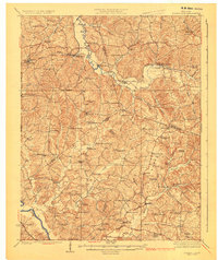
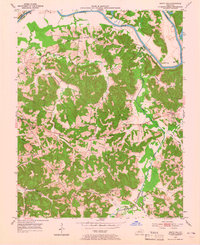
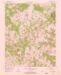
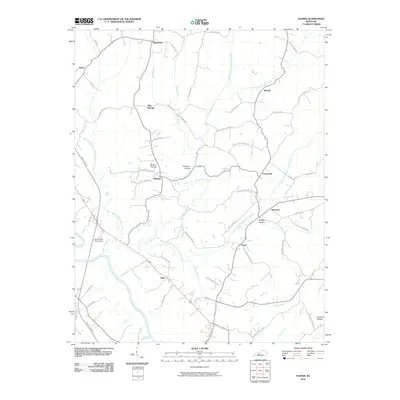
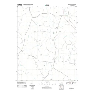
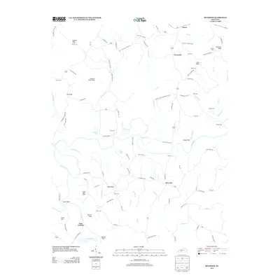
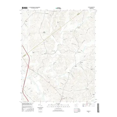
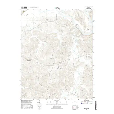
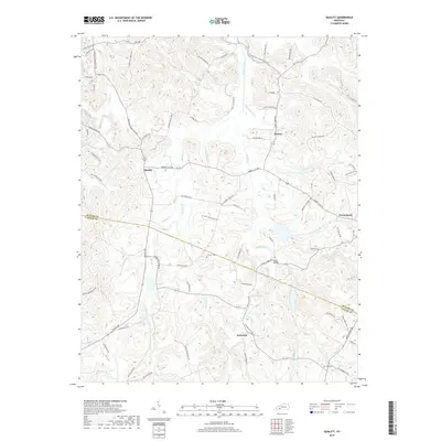
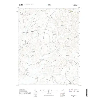
1925 Map of Spring Lick
USGS Topo · Published 1925About this map
Caney Creek and its many winding tributaries define the rural landscape of this 1920s survey, where the borders of Ohio, Grayson, and Butler counties meet. The northern reach is anchored by the Illinois Central railroad, connecting settlements like Rosine, Horse Branch, and Spring Lick. The density of country schools and churches—such as Richland School, Milan School, and Mt Liberty Church—reveals a decentralized community structure where local life centered on small, named hollows and knobs.
Find a feature on this map
94 named features on this map. Tap any name to fly to it.
Don’t see what you’re looking for? This feature index may not catch every label — zoom into the map to look around manually.
Map Details
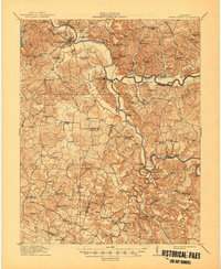
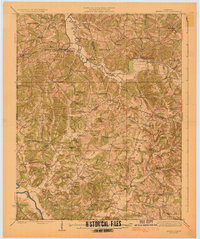
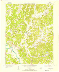
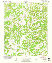
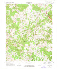
Editions of this 1925 Spring Lick Map
2 editions found
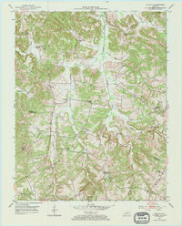
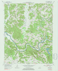
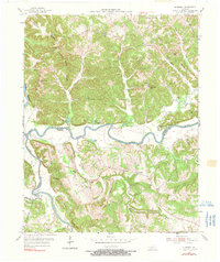
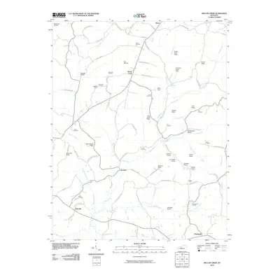
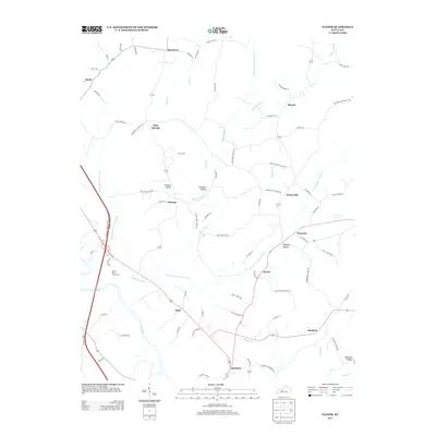
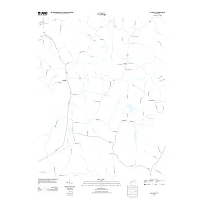
Historical Maps of Caneyville Through Time
46 maps found
1914 Little Muddy
Butler County, KY
1925 Spring Lick
Butler County, KY
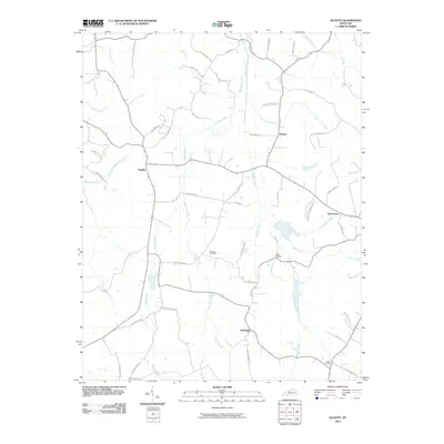
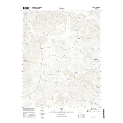
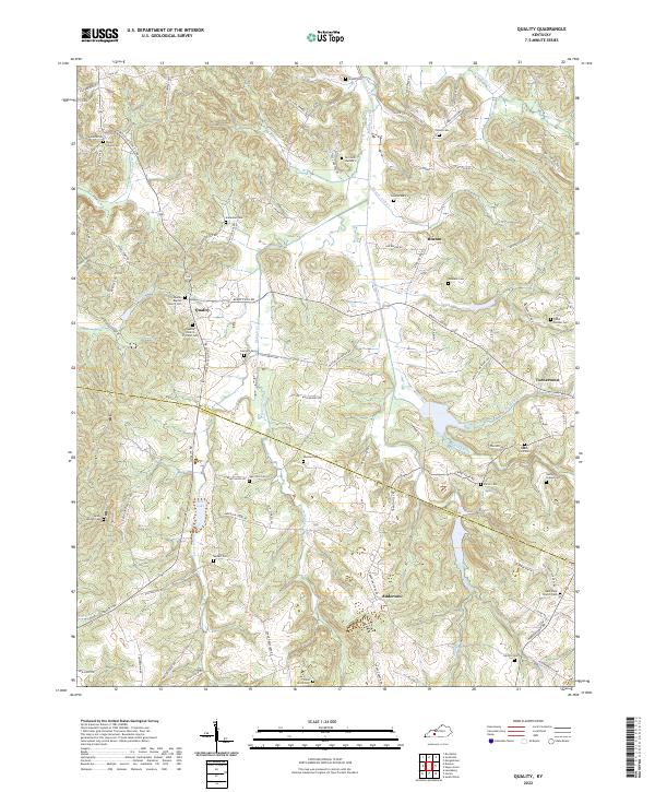
1953 Quality
Butler County, KY
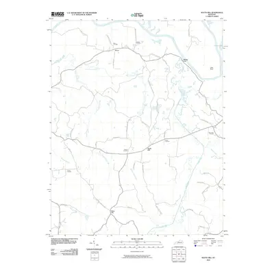
1953 South Hill
Butler County, KY
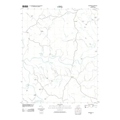
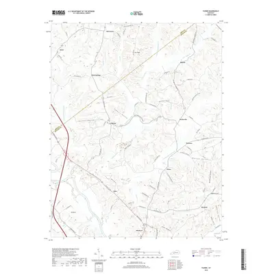
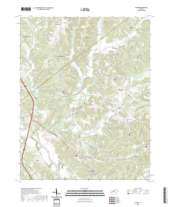
1954 Flener
Butler County, KY
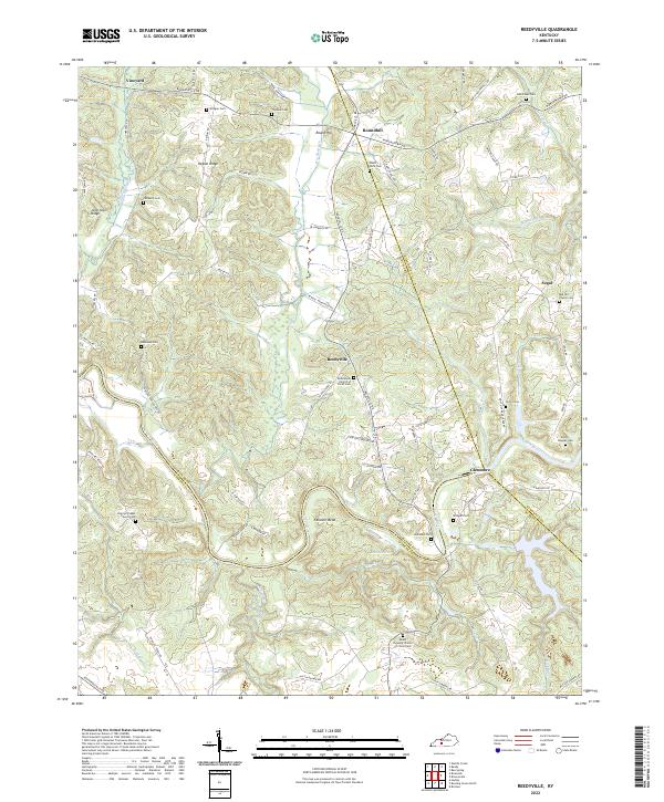
1954 Reedyville
Butler County, KY
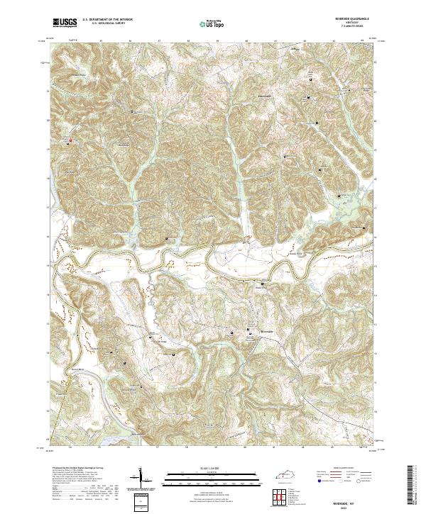
1954 Riverside
Butler County, KY
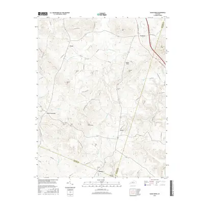
1954 Sugar Grove
Butler County, KY
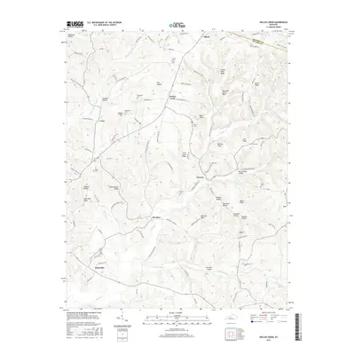
1954 Welchs Creek
Butler County, KY
1973 Flener
Butler County, KY
1973 Sugar Grove
Butler County, KY
2010 Flener
Butler County, KY
2010 Quality
Butler County, KY

2010 Reedyville
Butler County, KY
2010 Riverside
Butler County, KY
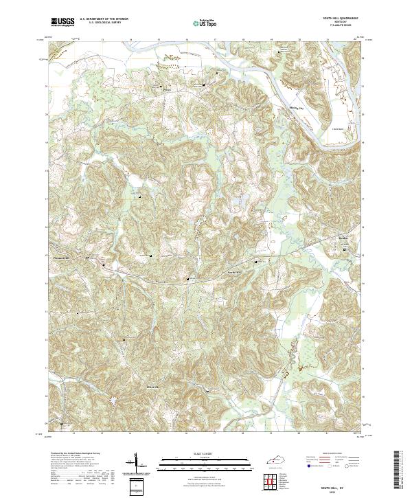
2010 South Hill
Butler County, KY
2010 Sugar Grove
Butler County, KY
2010 Welchs Creek
Butler County, KY
2013 Flener
Butler County, KY
2013 Quality
Butler County, KY

2013 Reedyville
Butler County, KY
2013 Riverside
Butler County, KY
2013 South Hill
Butler County, KY
2013 Sugar Grove
Butler County, KY
2013 Welchs Creek
Butler County, KY
2016 Flener
Butler County, KY
2016 Quality
Butler County, KY
2016 Reedyville
Butler County, KY
2016 Riverside
Butler County, KY
2016 South Hill
Butler County, KY
2016 Sugar Grove
Butler County, KY
2016 Welchs Creek
Butler County, KY
2019 Flener
Butler County, KY
2019 Quality
Butler County, KY

2019 Reedyville
Butler County, KY
2019 Riverside
Butler County, KY
2019 South Hill
Butler County, KY
2019 Sugar Grove
Butler County, KY
2019 Welchs Creek
Butler County, KY
2022 Flener
Butler County, KY
2022 Quality
Butler County, KY
2022 Reedyville
Butler County, KY
2022 Riverside
Butler County, KY
2022 South Hill
Butler County, KY
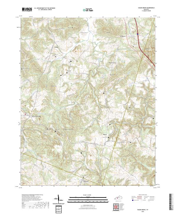
2022 Sugar Grove
Butler County, KY
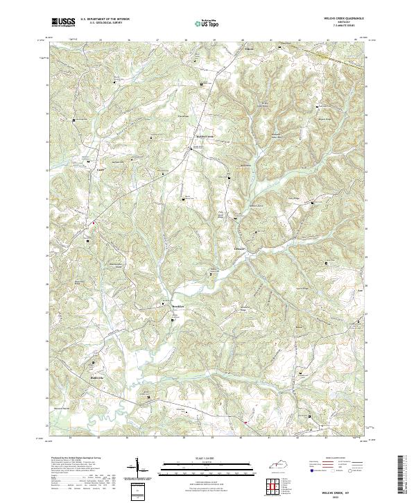
2022 Welchs Creek
Butler County, KY