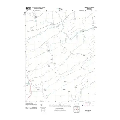
2010 Map of Spring Mills
USGS Topo · Published 2010About this map
Spring Mills and the surrounding Gregg Township valleys are defined by a complex network of gaps and limestone springs where Penns Creek and Sinking Creek carve through the ridge-and-valley landscape. This 2010 USGS survey details a region where traditional agricultural settlements like Farmers Mills and Penn Hall coexist with large tracts of state forest land. The topography is marked by significant elevation changes, from the prominent Egg Hill to the high elevations of Sand Mountain and Big Poe Mountain.
Find a feature on this map
55 named features on this map. Tap any name to fly to it.
Don’t see what you’re looking for? This feature index may not catch every label — zoom into the map to look around manually.
Map Details
Editions of this 2010 Spring Mills Map
This is the sole edition of this map. No revisions or reprints were ever made.
Other maps of this area

1924 · Centre Hall
USGS Topo · 1:62,500

1924 · Lewistown
USGS Topo · 1:62,500

1925 · Mifflintown
USGS Topo · 1:48,000

1927 · Lewisburg
USGS Topo · 1:62,500

1929 · Centre Hall
USGS Topo · 1:62,500

1934 · Mifflintown
USGS Topo · 1:62,500

1937 · Mifflintown
USGS Topo · 1:62,500

1937 · Millheim
USGS Topo · 1:48,000

1941 · Millheim
USGS Topo · 1:62,500

1943 · Lewistown
USGS Topo · 1:125,000