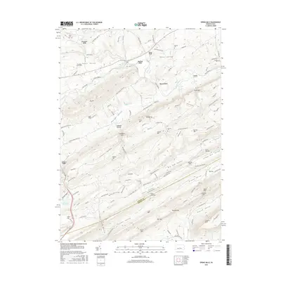
2016 Map of Spring Mills
USGS Topo · Published 2016About this map
Penns Valley and the surrounding ridges of the Ridge-and-Valley province dominate this 2016 survey, where the border between Centre County and Mifflin County follows the high ground of Long Mountain. The landscape is a study in agricultural and geological patterns, with long-established settlements like Spring Mills, Farmers Mills, and Potters Mills situated near the water sources of Penns Creek and Sinking Creek. These creeks often disappear into the limestone geology characteristic of the region, evidenced by labels like Rising Spring.
Find a feature on this map
143 named features on this map. Tap any name to fly to it.
Don’t see what you’re looking for? This feature index may not catch every label — zoom into the map to look around manually.
Map Details
Editions of this 2016 Spring Mills Map
This is the sole edition of this map. No revisions or reprints were ever made.
Other maps of this area

1924 · Centre Hall
USGS Topo · 1:62,500

1924 · Lewistown
USGS Topo · 1:62,500

1925 · Mifflintown
USGS Topo · 1:48,000

1927 · Lewisburg
USGS Topo · 1:62,500

1929 · Centre Hall
USGS Topo · 1:62,500

1934 · Mifflintown
USGS Topo · 1:62,500

1937 · Mifflintown
USGS Topo · 1:62,500

1937 · Millheim
USGS Topo · 1:48,000

1941 · Millheim
USGS Topo · 1:62,500

1943 · Lewistown
USGS Topo · 1:125,000