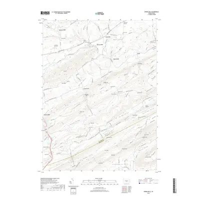
2019 Map of Spring Mills
USGS Topo · Published 2019About this map
Spring Mills serves as a central hub in this section of Penns Valley, where the waters of Sinking Creek meet the larger flow of Penns Creek. The landscape is defined by the rhythmic alternation of cultivated valley floors and densely wooded ridges, including Egg Hill and Sand Ridge. Agriculture and local commerce are evident in the scatter of small settlements such as Farmers Mills, Penn Hall, and Zerby, each connected by a network of rural roads like the Penns Valley Pike.
Find a feature on this map
144 named features on this map. Tap any name to fly to it.
Don’t see what you’re looking for? This feature index may not catch every label — zoom into the map to look around manually.
Map Details
Editions of this 2019 Spring Mills Map
This is the sole edition of this map. No revisions or reprints were ever made.
Other maps of this area

1924 · Centre Hall
USGS Topo · 1:62,500

1924 · Lewistown
USGS Topo · 1:62,500

1925 · Mifflintown
USGS Topo · 1:48,000

1927 · Lewisburg
USGS Topo · 1:62,500

1929 · Centre Hall
USGS Topo · 1:62,500

1934 · Mifflintown
USGS Topo · 1:62,500

1937 · Mifflintown
USGS Topo · 1:62,500

1937 · Millheim
USGS Topo · 1:48,000

1941 · Millheim
USGS Topo · 1:62,500

1943 · Lewistown
USGS Topo · 1:125,000