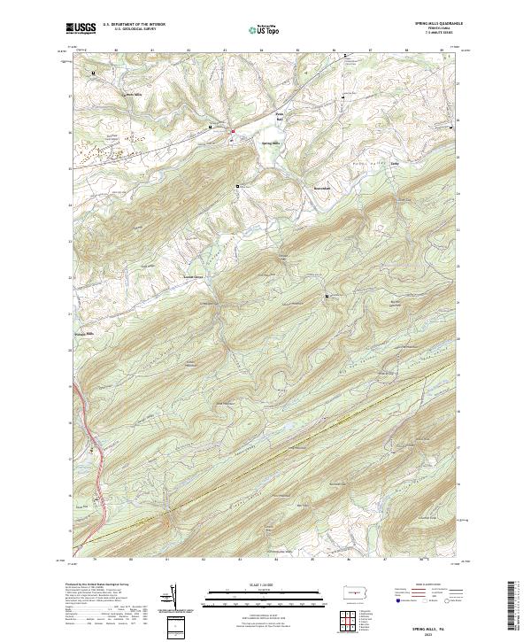
2023 Map of Spring Mills
USGS Topo · Published 2023About this map
Penns Creek and its many tributaries, including Sinking Creek and Muddy Creek, define the intricate drainage patterns of this Central Pennsylvania landscape. The map details a series of parallel valleys and ridges, from George's Valley and Big Poe Valley to the heights of Egg Hill and Sand Mountain. These natural corridors shaped the region's historical development, as seen in the linear arrangement of settlements like Spring Mills, Penn Hall, and Farmers Mills.
Find a feature on this map
93 named features on this map. Tap any name to fly to it.
Don’t see what you’re looking for? This feature index may not catch every label — zoom into the map to look around manually.
Map Details
Editions of this 2023 Spring Mills Map
This is the sole edition of this map. No revisions or reprints were ever made.
Other maps of this area

1924 · Centre Hall
USGS Topo · 1:62,500

1924 · Lewistown
USGS Topo · 1:62,500

1925 · Mifflintown
USGS Topo · 1:48,000

1927 · Lewisburg
USGS Topo · 1:62,500

1929 · Centre Hall
USGS Topo · 1:62,500

1934 · Mifflintown
USGS Topo · 1:62,500

1937 · Mifflintown
USGS Topo · 1:62,500

1937 · Millheim
USGS Topo · 1:48,000

1941 · Millheim
USGS Topo · 1:62,500

1943 · Lewistown
USGS Topo · 1:125,000