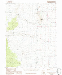
1986 Map of Spring Mountain
USGS Topo · Published 1986About this map
Spring Mountain stands as a central landmark in this high-desert landscape, situated along the interior border where the Nevada-Utah state line meets the boundary of White Pine and Millard counties. The area is defined by a complex network of seasonal drainages and topographic landmarks, including the prominent Petes Knoll and the narrow passage of Devils Gate. Water, though often ephemeral, has carved significant paths through the terrain, evidenced by the presence of Indian George Wash and Marble Wash. A subtle north-south movement is suggested by the alignment of Swan Canyon and the headwaters of Warm Springs Creek, revealing a landscape where topography dictated the routes of early travel across the Great Basin. This 1980s field-checked survey captures the precise elevation data and natural features of this remote interstate corridor before more modern developments altered the character of the borderlands.
Find a feature on this map
10 named features on this map. Tap any name to fly to it.
Don’t see what you’re looking for? This feature index may not catch every label — zoom into the map to look around manually.
Map Details
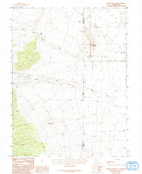
Editions of this 1986 Spring Mountain Map
2 editions found
Other maps of this area

1908 · Fish Springs
USGS Topo · 1:250,000

1910 · Fish Springs
USGS Topo · 1:250,000

1953 · Delta
USGS Topo · 1:250,000

1956 · Ely
USGS Topo · 1:250,000

1958 · Delta
USGS Topo · 1:250,000

1959 · Ely
USGS Topo · 1:250,000

1960 · Gandy
USGS Topo · 1:62,500

1961 · Trout Creek
USGS Topo · 1:62,500

1962 · Delta
USGS Topo · 1:250,000

1963 · Ely
USGS Topo · 1:250,000