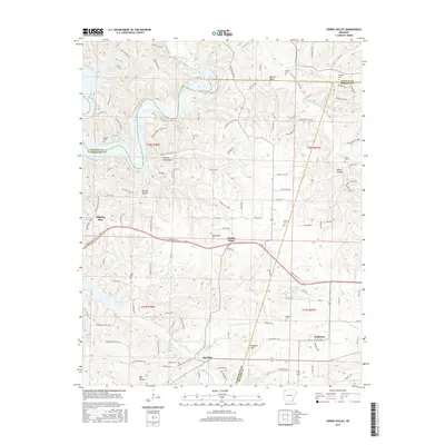
2017 Map of Spring Valley
USGS Topo · Published 2017About this map
The boundary lines of Washington, Benton, and Madison Counties converge in this rural Arkansas landscape, anchored by the settlement of Spring Valley. The terrain is defined by the winding course of War Eagle Cr as it feeds into the southeastern reaches of Beaver Lake, surrounded by prominent ridges such as Been Mtn and Vaughan Mtn. This area retains its agrarian character, with small communities like Mayfield and Pilgrims Rest connected by a network of county roads and logging tracks.
Find a feature on this map
127 named features on this map. Tap any name to fly to it.
Don’t see what you’re looking for? This feature index may not catch every label — zoom into the map to look around manually.
Map Details
Editions of this 2017 Spring Valley Map
This is the sole edition of this map. No revisions or reprints were ever made.
Other maps of this area

1899 · Fayetteville
USGS Topo · 1:125,000

1900 · Eureka Springs
USGS Topo · 1:125,000

1901 · Eureka Springs
USGS Topo · 1:125,000

1901 · Fayetteville
USGS Topo · 1:125,000

1904 · Fayetteville
USGS Topo · 1:125,000

1945 · Harrison
USGS Topo · 1:250,000

1949 · Harrison
USGS Topo · 1:250,000

1954 · Harrison
USGS Topo · 1:250,000

1954 · Tulsa
USGS Topo · 1:250,000

1957 · Mundell
USGS Topo · 1:24,000