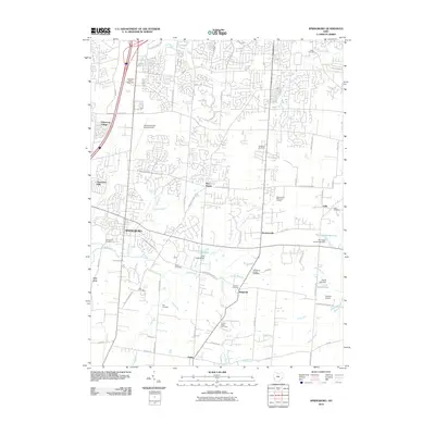
2010 Map of Springboro
USGS Topo · Published 2010About this map
Springboro serves as the hub of this Southwest Ohio landscape, showing a period of suburban expansion interlaced with deep-rooted agricultural and local history. The map documents numerous small burial grounds essential for genealogical research, including the Old School Baptist Cemetery, Salem Cemetery, and Null Cemetery. The transition from rural to residential is visible in the network of winding drives around Lake Forest and the established orchards of the Hidden Valley Fruit Farm. Aviation history is marked by Dayton General Airport South and the smaller Skyland Airport to the southeast. Waterways like Clear Creek, Sugar Creek, and Holes Creek define the drainage of the area, while the rural corners of the quadrangle preserve older place names like Flat Iron, Pekin, and Lytle.
Find a feature on this map
80 named features on this map. Tap any name to fly to it.
Don’t see what you’re looking for? This feature index may not catch every label — zoom into the map to look around manually.
Map Details
Editions of this 2010 Springboro Map
This is the sole edition of this map. No revisions or reprints were ever made.
Other maps of this area

1904 · Mason
USGS Topo · 1:62,500

1906 · Mason
USGS Topo · 1:62,500

1908 · Miamisburg
USGS Topo · 1:62,500

1913 · Waynesville
USGS Topo · 1:62,500

1914 · Morrow
USGS Topo · 1:62,500

1915 · Waynesville
USGS Topo · 1:62,500

1916 · Morrow
USGS Topo · 1:62,500

1951 · Franklin
USGS Topo · 1:24,000

1953 · Cincinnati
USGS Topo · 1:250,000

1955 · Monroe
USGS Topo · 1:24,000