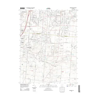
2013 Map of Springboro
USGS Topo · Published 2013About this map
Springboro and Centerville anchor this 2013 landscape, where the suburban development of the Montgomery and Warren county line meets a network of historic cemeteries and rural corridors. The map documents numerous burial grounds including Salem Cem, Null Cem, and Rehoboth Cem, alongside larger sites like the Miami Valley Memorial Garden. This area is shaped by its aviation history, featuring the Dayton-Wright Brothers Airport and Red Stewart Airfield to the southeast. Waterways like Clear Creek, Sugar Cr, and Holes Cr carve through the terrain, while the settlement of Ridgeville sits at a crossroads of winding local routes. The mapping shows a transition from structured municipal blocks to the more open lands near Pekin and Lytle, providing a detailed record of land use and family-named landmarks just south of Miamisburg.
Find a feature on this map
55 named features on this map. Tap any name to fly to it.
Don’t see what you’re looking for? This feature index may not catch every label — zoom into the map to look around manually.
Map Details
Editions of this 2013 Springboro Map
This is the sole edition of this map. No revisions or reprints were ever made.
Other maps of this area

1904 · Mason
USGS Topo · 1:62,500

1906 · Mason
USGS Topo · 1:62,500

1908 · Miamisburg
USGS Topo · 1:62,500

1913 · Waynesville
USGS Topo · 1:62,500

1914 · Morrow
USGS Topo · 1:62,500

1915 · Waynesville
USGS Topo · 1:62,500

1916 · Morrow
USGS Topo · 1:62,500

1951 · Franklin
USGS Topo · 1:24,000

1953 · Cincinnati
USGS Topo · 1:250,000

1955 · Monroe
USGS Topo · 1:24,000