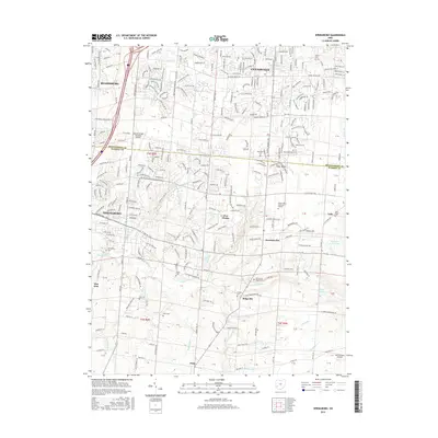
2016 Map of Springboro
USGS Topo · Published 2016About this map
The boundary between Montgomery Co and Warren Co divides this landscape, where suburban expansion meets the legacy of early Ohio settlement. Centered on the growing hub of Springboro, the terrain is defined by a dense network of watercourses including Clear Creek, Holes Creek, and the headwaters of Bull Run. Aviation history is prominent here, with both the Dayton-Wright Brothers Airport and Red Stewart Airfield marking the area's importance to flight.
Find a feature on this map
70 named features on this map. Tap any name to fly to it.
Don’t see what you’re looking for? This feature index may not catch every label — zoom into the map to look around manually.
Map Details
Editions of this 2016 Springboro Map
This is the sole edition of this map. No revisions or reprints were ever made.
Other maps of this area

1904 · Mason
USGS Topo · 1:62,500

1906 · Mason
USGS Topo · 1:62,500

1908 · Miamisburg
USGS Topo · 1:62,500

1913 · Waynesville
USGS Topo · 1:62,500

1914 · Morrow
USGS Topo · 1:62,500

1915 · Waynesville
USGS Topo · 1:62,500

1916 · Morrow
USGS Topo · 1:62,500

1951 · Franklin
USGS Topo · 1:24,000

1953 · Cincinnati
USGS Topo · 1:250,000

1955 · Monroe
USGS Topo · 1:24,000