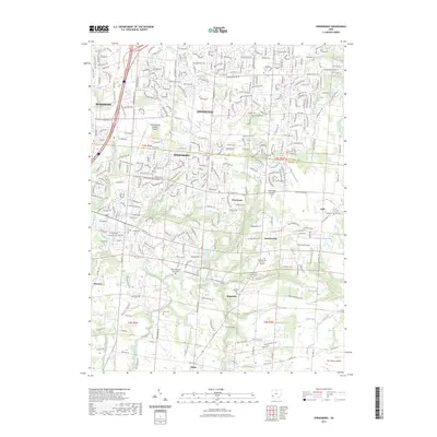
2023 Map of Springboro
USGS Topo · Published 2023About this map
Springboro sits at the heart of this landscape where Montgomery and Warren counties meet, serving as a hub for several smaller nineteenth-century hamlets. The area's Quaker roots are visible through the Hicksite Quaker Cem and Friends Cem, while other denominational histories are preserved at the Old School Baptist Cem and Salem Reformed Church Cem. The terrain is defined by a dense network of small waterways like Clear Creek, Coon Creek, and Dugans Run, which once dictated the placement of pioneer roads and farmsteads. To the south and east, the map traces the rural character of Ridgeville and Lytle, contrasting with the more modern infrastructure of the Dayton/Wright Brothers Airport near Centerville. This survey documents a region that has maintained its historical lineage through a high concentration of family and church burial grounds even as it grew into a modern suburban corridor.
Find a feature on this map
56 named features on this map. Tap any name to fly to it.
Don’t see what you’re looking for? This feature index may not catch every label — zoom into the map to look around manually.
Map Details
Editions of this 2023 Springboro Map
This is the sole edition of this map. No revisions or reprints were ever made.
Other maps of this area

1904 · Mason
USGS Topo · 1:62,500

1906 · Mason
USGS Topo · 1:62,500

1908 · Miamisburg
USGS Topo · 1:62,500

1913 · Waynesville
USGS Topo · 1:62,500

1914 · Morrow
USGS Topo · 1:62,500

1915 · Waynesville
USGS Topo · 1:62,500

1916 · Morrow
USGS Topo · 1:62,500

1951 · Franklin
USGS Topo · 1:24,000

1953 · Cincinnati
USGS Topo · 1:250,000

1955 · Monroe
USGS Topo · 1:24,000