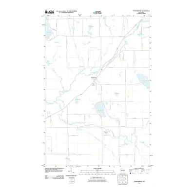
2010 Map of Springbrook
USGS Topo · Published 2010About this map
The Springbrook settlement anchors this 2010 landscape, where the Namekagon River winds through a dense network of glacial lakes and wetlands. This waterway is the central artery for the region, joined by numerous tributaries including Bean Brook, Tranus Creek, and Mackay Creek. The terrain is characterized by its high density of surface water, ranging from the large Gull Lake in the northwest to the smaller Brinkman Lake and Deer Lake scattered across the township.
Find a feature on this map
64 named features on this map. Tap any name to fly to it.
Don’t see what you’re looking for? This feature index may not catch every label — zoom into the map to look around manually.
Map Details
Editions of this 2010 Springbrook Map
This is the sole edition of this map. No revisions or reprints were ever made.
Other maps of this area

1947 · Chittamo
USGS Topo · 1:48,000

1947 · Minong
USGS Topo · 1:48,000

1948 · Spooner
USGS Topo · 1:48,000

1948 · Stone Lake
USGS Topo · 1:48,000

1949 · Chittamo
USGS Topo · 1:48,000

1949 · Minong
USGS Topo · 1:48,000

1949 · Spooner
USGS Topo · 1:48,000

1950 · Stone Lake
USGS Topo · 1:48,000

1953 · Ashland
USGS Topo · 1:250,000

1953 · Rice Lake
USGS Topo · 1:250,000