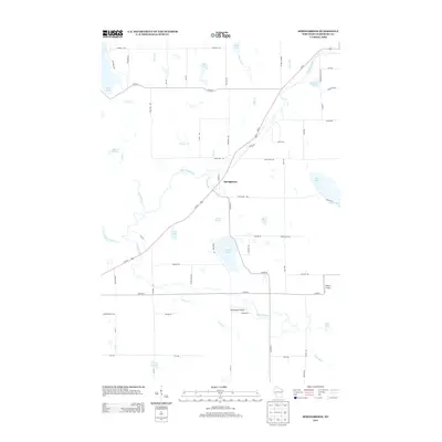
2013 Map of Springbrook
USGS Topo · Published 2013About this map
Springbrook serves as the central hub of this Wisconsin landscape, where the Us-63 corridor intersects a complex network of glacial water features. The Namekagon River and Bean Brook define the local drainage, fed by numerous natural water sources including Gull Cr Springs, Savage Springs, and Bean Brook Spring. This modern survey reveals a community shaped by its hydrology, with private and public aviation facilities like Willie's Airport and the Springbrook Airport situated near the shifting courses of Mackay Cr and Godfrey Cr. The distribution of rural roads such as Town Hall Rd and Haddick Rd suggests a pattern of residential and agricultural plots intermixed with the many smaller lakes like Brinkman Lake, Deer Lake, and Deep Lake that dot the Washburn County countryside.
Find a feature on this map
72 named features on this map. Tap any name to fly to it.
Don’t see what you’re looking for? This feature index may not catch every label — zoom into the map to look around manually.
Map Details
Editions of this 2013 Springbrook Map
This is the sole edition of this map. No revisions or reprints were ever made.
Other maps of this area

1947 · Chittamo
USGS Topo · 1:48,000

1947 · Minong
USGS Topo · 1:48,000

1948 · Spooner
USGS Topo · 1:48,000

1948 · Stone Lake
USGS Topo · 1:48,000

1949 · Chittamo
USGS Topo · 1:48,000

1949 · Minong
USGS Topo · 1:48,000

1949 · Spooner
USGS Topo · 1:48,000

1950 · Stone Lake
USGS Topo · 1:48,000

1953 · Ashland
USGS Topo · 1:250,000

1953 · Rice Lake
USGS Topo · 1:250,000