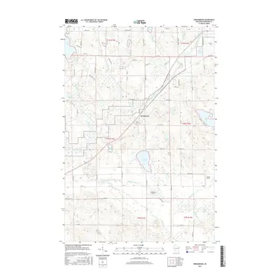
2015 Map of Springbrook
USGS Topo · Published 2015About this map
The Namekagon River winds through this portion of Washburn County, anchoring a landscape defined by glacial lakes and tributary streams. The unincorporated community of Springbrook sits at the heart of the map, serving as a local hub for the surrounding township. Religious and aviation history are evident in the presence of Saint Lukes Cem and two small airfields, Springbrook Airport and Willie's Airport.
Find a feature on this map
51 named features on this map. Tap any name to fly to it.
Don’t see what you’re looking for? This feature index may not catch every label — zoom into the map to look around manually.
Map Details
Editions of this 2015 Springbrook Map
This is the sole edition of this map. No revisions or reprints were ever made.
Other maps of this area
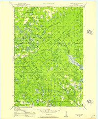
1947 · Chittamo
USGS Topo · 1:48,000
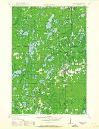
1947 · Minong
USGS Topo · 1:48,000
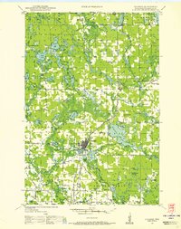
1948 · Spooner
USGS Topo · 1:48,000
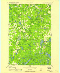
1948 · Stone Lake
USGS Topo · 1:48,000
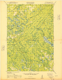
1949 · Chittamo
USGS Topo · 1:48,000
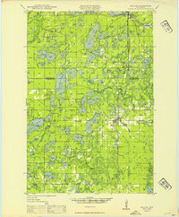
1949 · Minong
USGS Topo · 1:48,000
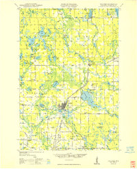
1949 · Spooner
USGS Topo · 1:48,000
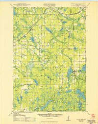
1950 · Stone Lake
USGS Topo · 1:48,000

1953 · Ashland
USGS Topo · 1:250,000

1953 · Rice Lake
USGS Topo · 1:250,000