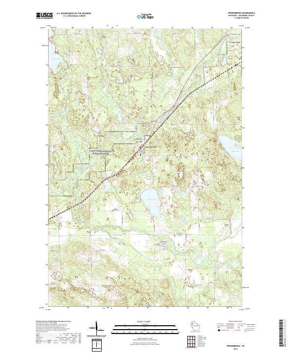
2022 Map of Springbrook
USGS Topo · Published 2022About this map
Springbrook serves as the central hub of this Washburn County landscape, situated where the Saint Croix National Scenic Riverway protects the corridor of the Namekagon River. The area is defined by a dense network of glacial lakes and springs, including Spring Lake, Gull Lake, and the source waters at Bean Brook Spring. This modern survey details the local infrastructure of the 2020s, showing a mix of residential settlement and aviation history through Springbrook Airport and the privately-named Willie's Airport.
Find a feature on this map
83 named features on this map. Tap any name to fly to it.
Don’t see what you’re looking for? This feature index may not catch every label — zoom into the map to look around manually.
Map Details
Editions of this 2022 Springbrook Map
This is the sole edition of this map. No revisions or reprints were ever made.
Other maps of this area

1947 · Chittamo
USGS Topo · 1:48,000

1947 · Minong
USGS Topo · 1:48,000

1948 · Spooner
USGS Topo · 1:48,000

1948 · Stone Lake
USGS Topo · 1:48,000

1949 · Chittamo
USGS Topo · 1:48,000

1949 · Minong
USGS Topo · 1:48,000

1949 · Spooner
USGS Topo · 1:48,000

1950 · Stone Lake
USGS Topo · 1:48,000

1953 · Ashland
USGS Topo · 1:250,000

1953 · Rice Lake
USGS Topo · 1:250,000