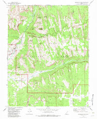
1980 Map of Springdale East
USGS Topo · Published 1982About this map
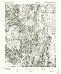
The North Fork Virgin River carves through the sandstone monoliths of Zion National Park in this 1980 survey, illustrating the intersection of natural monumentality and early canyon tourism. The map detail highlights the established visitor infrastructure, including the Zion Lodge, Wylie Retreat, and the massive engineering of the Zion-Mount Carmel Tunnel. Beyond the park gates, the settlement of Springdale serves as the gateway to the canyon, while further south and east, the landscape transitions to the more remote reaches of Parunuweap Canyon.
Find a feature on this map
66 named features on this map. Tap any name to fly to it.
Don’t see what you’re looking for? This feature index may not catch every label — zoom into the map to look around manually.
Map Details
Editions of this 1980 Springdale East Map
3 editions found
Other maps of this area

1885 · St. George
USGS Topo · 1:250,000

1886 · Kanab
USGS Topo · 1:250,000

1891 · St. George
USGS Topo · 1:250,000

1953 · Cedar City
USGS Topo · 1:250,000

1954 · La Verkin 4 SE
USGS Topo · 1:24,000

1954 · Orderville Canyon SE
USGS Topo · 1:24,000
1956 · Springdale SE
USGS Topo · 1:24,000
1956 · Springdale SW
USGS Topo · 1:24,000

1956 · Springdale NE
USGS Topo · 1:24,000

1958 · Cedar City
USGS Topo · 1:250,000