
1956 Map of Springdale NE
USGS Topo · Published 1956About this map
Zion National Park occupies the western boundary of this high-desert plateau landscape, where deep canyons and rising mesas define the local geography. The map reveals a land utilized for seasonal grazing and water management during the mid-1950s, evidenced by the presence of Stock Tanks and the Co-op label near the northern border. Dramatic elevation changes are centered around massive geological formations like Elephant and Indian Knoll, while lower drainage areas like Shunes Hollow cut through the terrain. This preliminary survey represents the transition from early territorial exploration to mid-century topographical precision, documenting names like Poverty and Flat that reflect the stark reality of early ranching life in southern Utah. The network of unimproved roads and horse trails connects isolated water sources across the Cove, illustrating the sparse but vital infrastructure of the era.
Find a feature on this map
12 named features on this map. Tap any name to fly to it.
Don’t see what you’re looking for? This feature index may not catch every label — zoom into the map to look around manually.
Map Details
Editions of this 1956 Springdale NE Map
This is the sole edition of this map. No revisions or reprints were ever made.
Other maps of this area

1886 · Kanab
USGS Topo · 1:250,000

1953 · Cedar City
USGS Topo · 1:250,000

1954 · Kanab SW
USGS Topo · 1:24,000

1954 · Orderville Canyon SE
USGS Topo · 1:24,000
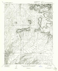
1956 · Springdale SE
USGS Topo · 1:24,000
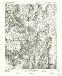
1956 · Springdale SW
USGS Topo · 1:24,000

1957 · Kanab
USGS Topo · 1:62,500

1958 · Cedar City
USGS Topo · 1:250,000

1958 · Orderville
USGS Topo · 1:62,500

1962 · Cedar City
USGS Topo · 1:250,000