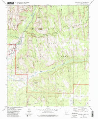
1980 Map of Springdale East
USGS Topo · Published 1980About this map
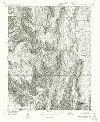
The Parunuweap Canyon Virgin River East Fork and Zion Canyon River Virgin converge in this 1980 study, detailing a landscape defined by massive sandstone formations and early Mormon-pioneer era settlements. At the park's southern gateway, Springdale and the site of Shunesburg provide anchors for local history, with a Cemetery noted near the latter. The map documents the intricate path of the Zion-Mount Carmel Highway, including the engineering feat of the Zion-Mount Carmel Tunnel. Higher elevations are marked by distinctive landmarks like Checkerboard Mesa and the White Cliffs. From Zion Lodge and the Wylie Retreat in the north down to Shunesburg Mountain, the survey traces a complex network of canyons and washes, such as Gifford Canyon and Shunes Creek, that dictated the routes of travel and original homesteading patterns in this corner of Washington County.
Find a feature on this map
57 named features on this map. Tap any name to fly to it.
Don’t see what you’re looking for? This feature index may not catch every label — zoom into the map to look around manually.
Map Details
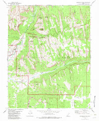
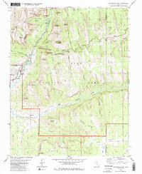
Editions of this 1980 Springdale East Map
3 editions found
Other maps of this area

1885 · St. George
USGS Topo · 1:250,000

1886 · Kanab
USGS Topo · 1:250,000

1891 · St. George
USGS Topo · 1:250,000

1953 · Cedar City
USGS Topo · 1:250,000

1954 · La Verkin 4 SE
USGS Topo · 1:24,000

1954 · Orderville Canyon SE
USGS Topo · 1:24,000
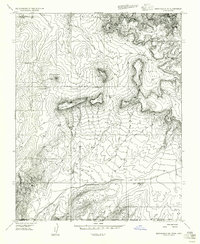
1956 · Springdale SE
USGS Topo · 1:24,000
1956 · Springdale SW
USGS Topo · 1:24,000

1956 · Springdale NE
USGS Topo · 1:24,000

1958 · Cedar City
USGS Topo · 1:250,000