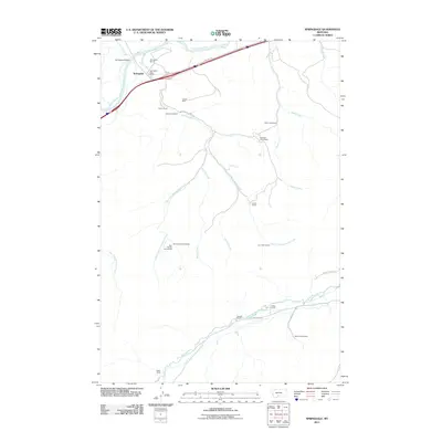
2011 Map of Springdale
USGS Topo · Published 2011About this map
The Yellowstone River snakes through the northern reaches of this landscape near Springdale, where the Springdale Bridge and Springdale Post Office serve as central landmarks for the surrounding ranching community. The map reveals a high density of named homesteads and ranches, reflecting a pattern of family-held land that persists into the 21st century. Notable properties include the Hash Homestead, Swanson Homestead, and the dual sites of the Bert Woods Homestead and Bob Woods Homestead. Industrial history is represented by the Calcite Mine located south of the main river valley. Water management and drainage are defined by numerous named tributaries such as Mendenhall Creek, Jarrett Creek, and the West Boulder River, which feeds the southern portion of the quadrangle near the Foster Ranch.
Find a feature on this map
33 named features on this map. Tap any name to fly to it.
Don’t see what you’re looking for? This feature index may not catch every label — zoom into the map to look around manually.
Map Details
Editions of this 2011 Springdale Map
This is the sole edition of this map. No revisions or reprints were ever made.
Other maps of this area

1891 · Livingston
USGS Topo · 1:250,000

1893 · Livingston
USGS Topo · 1:250,000

1947 · Bozeman
USGS Topo · 1:250,000

1948 · Bozeman
USGS Topo · 1:250,000

1951 · Mount Rae
USGS Topo · 1:24,000

1951 · Squaw Peak
USGS Topo · 1:24,000

1951 · Kelly Hills
USGS Topo · 1:24,000

1951 · Springdale
USGS Topo · 1:24,000

1951 · Mc Leod Basin
USGS Topo · 1:24,000

1951 · Hunters Hot Springs
USGS Topo · 1:24,000