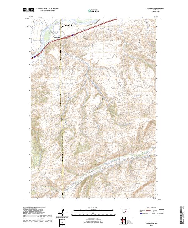
2024 Map of Springdale
USGS Topo · Published 2024About this map
The settlement of Springdale sits at the northern edge of this landscape, positioned where the Yellowstone River and the Hunters Hot Springs Canal converge. This modern survey illustrates a rugged transition from the river valley into the high-elevation drainages of the West Boulder River and its various tributaries. The terrain is defined by a complex network of creeks, including Mendenhall Creek, Wild Creek, and Jarrett Creek, which carve through the high plateaus and ridges. The boundary between Park Co and Sweet Grass Co bisects the area, highlighting how these administrative lines follow the natural topography of the region. Local infrastructure such as Convict Grade Rd and Main Boulder Rd provide access into the more remote southern sections, leading toward the prominent landform known as Coal Mine Rim. This study of the Big Timber and Livingston vicinity is particularly useful for understanding the modern hydrological patterns of the Yellowstone and Boulder watersheds.
Find a feature on this map
23 named features on this map. Tap any name to fly to it.
Don’t see what you’re looking for? This feature index may not catch every label — zoom into the map to look around manually.
Map Details
Editions of this 2024 Springdale Map
This is the sole edition of this map. No revisions or reprints were ever made.
Other maps of this area

1891 · Livingston
USGS Topo · 1:250,000

1893 · Livingston
USGS Topo · 1:250,000

1947 · Bozeman
USGS Topo · 1:250,000

1948 · Bozeman
USGS Topo · 1:250,000

1951 · Mount Rae
USGS Topo · 1:24,000

1951 · Squaw Peak
USGS Topo · 1:24,000

1951 · Kelly Hills
USGS Topo · 1:24,000

1951 · Springdale
USGS Topo · 1:24,000

1951 · Mc Leod Basin
USGS Topo · 1:24,000

1951 · Hunters Hot Springs
USGS Topo · 1:24,000