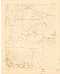
1893 Map of Springfield
USGS Topo · Published 1901About this map
Springfield sits as the primary hub of settlement in this 1890s survey of southeastern Colorado. The landscape is defined by an intricate network of seasonal drainage patterns and deep relief, most notably characterized by the numerous waterways and topographic depressions that crisscross Baca County. The southern portion of the map reveals a transition into more dramatic terrain near the Colorado Oklahoma Boundary Line, where the headwaters and drainages of Carrizo Creek and several named canyons, such as Sand Cañon and Red Cañon, carve into the high plains.
Find a feature on this map
17 named features on this map. Tap any name to fly to it.
Don’t see what you’re looking for? This feature index may not catch every label — zoom into the map to look around manually.
Map Details
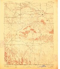
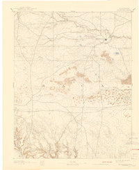
Editions of this 1893 Springfield Map
4 editions found
Other maps of this area

1891 · Albany
USGS Topo · 1:125,000

1891 · Higbee
USGS Topo · 1:125,000

1891 · Springfield
USGS Topo · 1:125,000

1892 · Vilas
USGS Topo · 1:125,000

1892 · Two Butte
USGS Topo · 1:125,000

1892 · Mt Carrizo
USGS Topo · 1:125,000

1893 · Higbee
USGS Topo · 1:125,000

1893 · Two Butte
USGS Topo · 1:125,000

1893 · Springfield
USGS Topo · 1:125,000

1893 · Albany
USGS Topo · 1:125,000