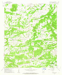
1962 Map of Springfield
USGS Topo · Published 1963About this map
Springfield and the surrounding Arkansas hillsides were documented in the early 1960s, revealing a landscape of scattered family farms and tight-knit rural communities. This survey is particularly notable for tracing the Old Treaty Boundary as it cuts across the southern hills, a significant historical line in Conway and Faulkner counties. The map preserves the locations of local landmarks such as the Nemo Vista Sch and St Josephs Cem, alongside smaller settlements like Birdtown and Catholic Point. Topographic details highlight the prominence of Lick Mountain and Buck Ridge, which dominate the local terrain. For genealogists and local historians, the inclusion of named cemeteries and churches like Bethlehem Ch and Pleasant Springs Ch provides an essential record of the area's mid-century social geography before modern infrastructure shifts occurred.
Find a feature on this map
42 named features on this map. Tap any name to fly to it.
Don’t see what you’re looking for? This feature index may not catch every label — zoom into the map to look around manually.
Map Details
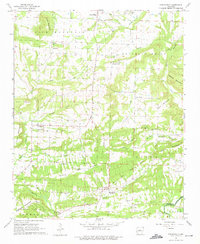
Editions of this 1962 Springfield Map
2 editions found
Other maps of this area

1892 · Morrillton
USGS Topo · 1:125,000

1894 · Morrillton
USGS Topo · 1:125,000

1956 · Russellville
USGS Topo · 1:250,000

1961 · Menifee
USGS Topo · 1:24,000

1961 · Morrilton East
USGS Topo · 1:24,000

1961 · Conway
USGS Topo · 1:62,500

1961 · Bee Branch
USGS Topo · 1:62,500

1961 · Greenbrier
USGS Topo · 1:24,000

1961 · Bee Branch
USGS Topo · 1:24,000

1961 · Damascus
USGS Topo · 1:24,000