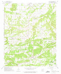
1962 Map of Springfield
USGS Topo · Published 1975About this map
Springfield and the surrounding rural communities of Conway Co and Faulkner Co are defined by a network of small settlements and family-named ridges and mountains. In this early 1960s landscape, the Indian Treaty Boundary cuts diagonally through the southeastern section, a significant historical surveyor's line that predates the established county boundaries. The region is dotted with local landmarks like Catholic Point, Birdtown, and Center Ridge, each anchored by a local cemetery or church such as St Josephs Cem or Pleasant Springs Ch. Movement through the area is dictated by the drainage of Cypress Creek and the southern slopes of Lick Mountain, while social life is centered around rural institutions like the Nemo Vista Sch.
Find a feature on this map
47 named features on this map. Tap any name to fly to it.
Don’t see what you’re looking for? This feature index may not catch every label — zoom into the map to look around manually.
Map Details
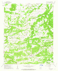
Editions of this 1962 Springfield Map
2 editions found
Other maps of this area

1892 · Morrillton
USGS Topo · 1:125,000

1894 · Morrillton
USGS Topo · 1:125,000

1956 · Russellville
USGS Topo · 1:250,000

1961 · Menifee
USGS Topo · 1:24,000

1961 · Morrilton East
USGS Topo · 1:24,000

1961 · Conway
USGS Topo · 1:62,500

1961 · Bee Branch
USGS Topo · 1:62,500

1961 · Greenbrier
USGS Topo · 1:24,000

1961 · Bee Branch
USGS Topo · 1:24,000

1961 · Damascus
USGS Topo · 1:24,000