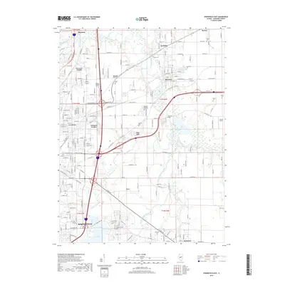
2018 Map of Springfield East
USGS Topo · Published 2018About this map
The Sangamon River meanders across this central Illinois landscape, defining the corridor between Springfield and its eastern suburbs and satellite towns. The area's industrial history and natural resources are evidenced by features like Shaft Pond near Riverton and the Coal Bank Bridge over the river. Residential developments such as Devereux Heights, Grandview, and Arlington Heights fill the space between the capital city and the rural outskirts, while the northern reaches include the settlements of Sherman and Spaulding.
Find a feature on this map
212 named features on this map. Tap any name to fly to it.
Don’t see what you’re looking for? This feature index may not catch every label — zoom into the map to look around manually.
Map Details
Editions of this 2018 Springfield East Map
This is the sole edition of this map. No revisions or reprints were ever made.
Other maps of this area

1907 · Springfield
USGS Topo · 1:62,500

1922 · Divernon
USGS Topo · 1:62,500

1923 · Taylorville
USGS Topo · 1:62,500

1924 · Divernon
USGS Topo · 1:62,500

1925 · Taylorville
USGS Topo · 1:62,500

1930 · Springfield
USGS Topo · 1:62,500

1940 · Springfield
USGS Topo · 1:62,500

1950 · Springfield West
USGS Topo · 1:24,000

1950 · Springfield East
USGS Topo · 1:24,000

1954 · Mechanicsburg
USGS Topo · 1:62,500