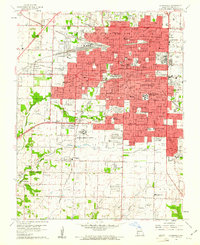
1960 Map of Springfield
USGS Topo · Published 1961About this map
Springfield is captured here during a period of significant mid-century expansion, centered on its educational and medical institutions. The map details the core campuses of Southwest Missouri State College, Drury College, and the newly established Evangel College, alongside major healthcare facilities like Burge Hospital and St Johns Hospital. The urban layout follows the path of the St Louis San Francisco railroad lines, while the city's periphery shows the emerging infrastructure of the 1960s, including the Federal Medical Center and a Drive-in Theater. Beyond the developed city limits, the landscape transitions into the rural townships of Campbell and Wilson, where older landmarks like Roundtree Spring, Bethany Ch, and Yarbrough Cem persist. This record is particularly valuable for tracing the transformation of residential neighborhoods and the early development of the Springfield Mun Airport and Downtown Airport before further modernization changed the city's footprint.
Find a feature on this map
94 named features on this map. Tap any name to fly to it.
Don’t see what you’re looking for? This feature index may not catch every label — zoom into the map to look around manually.
Map Details
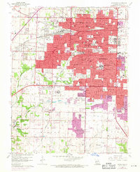
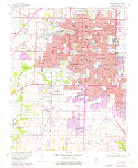
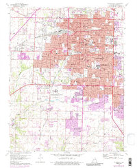
Editions of this 1960 Springfield Map
4 editions found
Other maps of this area

1884 · Springfield
USGS Topo · 1:125,000

1886 · Springfield
USGS Topo · 1:125,000

1935 · Springfield
USGS Topo · 1:24,000

1936 · Brookline
USGS Topo · 1:24,000

1937 · Galloway
USGS Topo · 1:24,000

1937 · Ozark
USGS Topo · 1:48,000

1943 · Ozark
USGS Topo · 1:62,500

1945 · Ozark
USGS Topo · 1:62,500

1946 · Bassville
USGS Topo · 1:24,000

1947 · Strafford
USGS Topo · 1:62,500