
1931 Map of Springfield
USGS Topo · Published 1931About this map
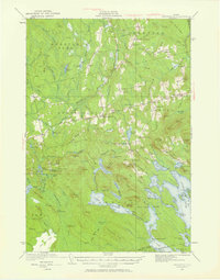
Mottagoodus Stream and the Passadumkeag River anchor this 1931 survey of eastern Maine, illustrating a rural landscape defined by glacial hydrology and early 20th-century settlement. The region is dotted with local schoolhouses, including the Webster Sch and Almanac Mtn Sch, which suggest the distributed nature of the farming and timber communities of the era. Higher elevations are marked by the Dill Ridge Fire Tower and numerous named peaks such as Bowers Mtn and Getchell Mtn.
Find a feature on this map
116 named features on this map. Tap any name to fly to it.
Don’t see what you’re looking for? This feature index may not catch every label — zoom into the map to look around manually.
Map Details
Editions of this 1931 Springfield Map
4 editions found
Other maps of this area

1920 · Winn
USGS Topo · 1:62,500

1931 · Saponac
USGS Topo · 1:48,000

1932 · Nicatous Lake
USGS Topo · 1:48,000

1934 · Saponac
USGS Topo · 1:62,500

1934 · Nicatous Lake
USGS Topo · 1:62,500

1934 · Springfield
USGS Topo · 1:62,500

1940 · Danforth
USGS Topo · 1:62,500

1940 · Mattawamkeag
USGS Topo · 1:62,500

1941 · Danforth
USGS Topo · 1:62,500

1941 · Scraggly Lake
USGS Topo · 1:62,500