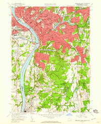
1958 Map of Springfield South
USGS Topo · Published 1960About this map
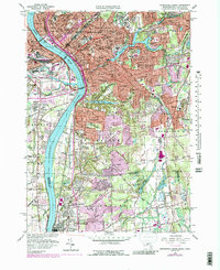
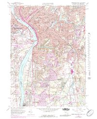
The Connecticut River flows through the heart of this mid-century landscape, separating the dense urban grid of Springfield from West Springfield and Agawam. This era captures the city's established industrial and institutional core, featuring prominent campuses like American International College and Springfield College. The transit network is clearly defined by the New York New Haven and Hartford railroad and a series of major spans including the Memorial Bridge and South End Bridge.
Find a feature on this map
103 named features on this map. Tap any name to fly to it.
Don’t see what you’re looking for? This feature index may not catch every label — zoom into the map to look around manually.
Map Details
Editions of this 1958 Springfield South Map
6 editions found
Other maps of this area

1886 · Springfield
USGS Topo · 1:62,500

1887 · Palmer
USGS Topo · 1:62,500

1889 · Springfield
USGS Topo · 1:62,500

1889 · Palmer
USGS Topo · 1:62,500

1892 · Hartford
USGS Topo · 1:62,500

1892 · Tolland
USGS Topo · 1:62,500

1893 · Springfield
USGS Topo · 1:62,500

1893 · Palmer
USGS Topo · 1:62,500

1895 · Springfield
USGS Topo · 1:62,500

1896 · Holyoke
USGS Topo · 1:125,000