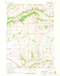
1960 Map of Springfield
USGS Topo · Published 1972About this map
Sugar Creek winds through the northern portion of this landscape, flanked by the township of Lafayette and the open expanses of Spring Prairie. This area in Walworth County demonstrates a transition between mid-century agriculture and growing community infrastructure, evidenced by the presence of a Fish Hatchery and a dedicated Ski Area. The southern portion of the map is anchored by the settlement of Springfield, situated along the Chicago Milwaukee St Paul and Pacific railroad line near the banks of Ore Creek.
Find a feature on this map
28 named features on this map. Tap any name to fly to it.
Don’t see what you’re looking for? This feature index may not catch every label — zoom into the map to look around manually.
Map Details
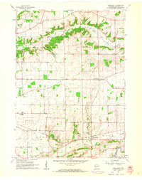
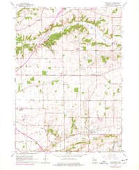
Editions of this 1960 Springfield Map
3 editions found
Other maps of this area

1892 · Whitewater
USGS Topo · 1:62,500

1892 · Eagle
USGS Topo · 1:62,500

1893 · Delavan
USGS Topo · 1:62,500

1893 · Whitewater
USGS Topo · 1:62,500

1893 · Geneva
USGS Topo · 1:62,500

1894 · Eagle
USGS Topo · 1:62,500

1897 · Eagle
USGS Topo · 1:62,500

1903 · Whitewater
USGS Topo · 1:62,500

1904 · Lake Geneva
USGS Topo · 1:62,500

1906 · Eagle
USGS Topo · 1:62,500