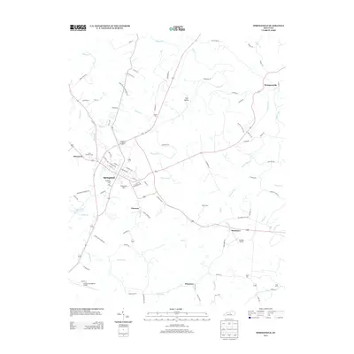
2013 Map of Springfield
USGS Topo · Published 2013About this map
Springfield serves as the central hub of this Washington County landscape, where the street grid expands near Armory Hill and the prominent Cemetery Hill. The surrounding countryside is defined by several distinct smaller settlements including Jimtown, Simstown, and Rineltown, connected by a network of rural routes such as Jimtown Rd and Simmstown Rd. These communities are situated among a complex system of waterways, with Beech Fork winding through the northern and eastern reaches while Mill Creek and Pleasant Run drain the central valley. Genealogical interest is centered on several burial sites, including Saint Dominics Cem and the Keene Cem near Frog Hollow. Modern infrastructure like the Lebanon-Springfield Airport and the Springfield Reservoir sits alongside older landmarks like Sugar Grove and the namesake Maple Grove, illustrating the evolution of this Kentucky region.
Find a feature on this map
90 named features on this map. Tap any name to fly to it.
Don’t see what you’re looking for? This feature index may not catch every label — zoom into the map to look around manually.
Map Details
Editions of this 2013 Springfield Map
This is the sole edition of this map. No revisions or reprints were ever made.
Other maps of this area

1953 · Mackville
USGS Topo · 1:24,000

1953 · Brush Grove
USGS Topo · 1:24,000

1953 · Gravel Switch
USGS Topo · 1:24,000

1953 · Maud
USGS Topo · 1:24,000

1953 · Saint Catharine
USGS Topo · 1:24,000

1953 · Lebanon East
USGS Topo · 1:24,000

1953 · Cardwell
USGS Topo · 1:24,000

1953 · Springfield
USGS Topo · 1:24,000

1953 · Lebanon West
USGS Topo · 1:24,000

1957 · Winchester
USGS Topo · 1:250,000