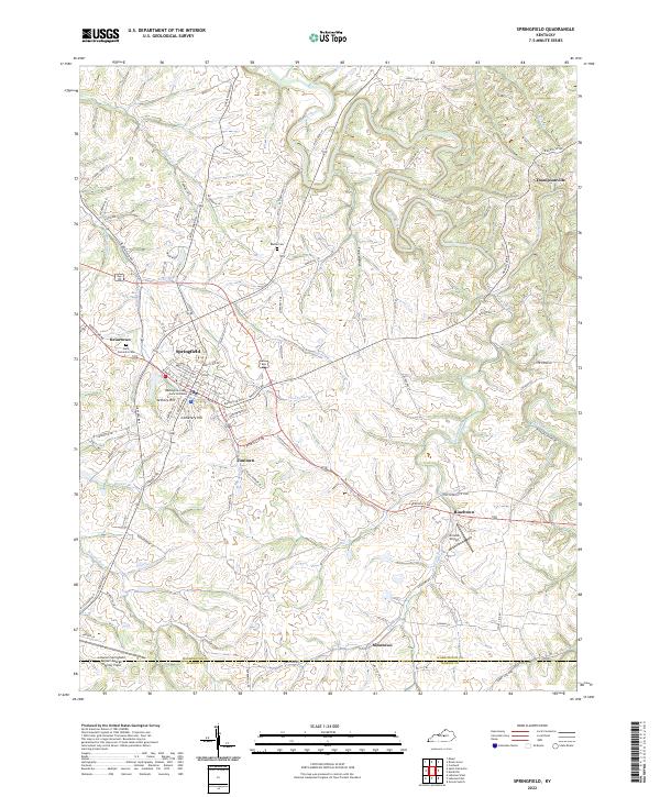
2022 Map of Springfield
USGS Topo · Published 2022About this map
Springfield serves as the focal point of this Washington County landscape, where the Washington County Judicial Center and Armory Hill anchor the town's civic and physical geography. The surrounding countryside is defined by the winding course of the Beech Fork and its numerous tributaries like Shay Br and Pleasant Run. This modern survey illustrates a pattern of small clusters and crossroads such as Jimtown, Rineltown, and Simstown that radiate outward from the central seat.
Find a feature on this map
94 named features on this map. Tap any name to fly to it.
Don’t see what you’re looking for? This feature index may not catch every label — zoom into the map to look around manually.
Map Details
Editions of this 2022 Springfield Map
This is the sole edition of this map. No revisions or reprints were ever made.
Other maps of this area

1953 · Mackville
USGS Topo · 1:24,000

1953 · Brush Grove
USGS Topo · 1:24,000

1953 · Gravel Switch
USGS Topo · 1:24,000

1953 · Maud
USGS Topo · 1:24,000

1953 · Saint Catharine
USGS Topo · 1:24,000

1953 · Lebanon East
USGS Topo · 1:24,000

1953 · Cardwell
USGS Topo · 1:24,000

1953 · Springfield
USGS Topo · 1:24,000

1953 · Lebanon West
USGS Topo · 1:24,000

1957 · Winchester
USGS Topo · 1:250,000