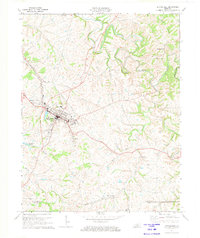
1972 Map of Springfield
USGS Topo · Published 1973About this map
The county seat of Springfield serves as the central hub for this 1970s survey of central Kentucky, where the Louisville and Nashville tracks intersect with a network of rural settlements. The map documents several historically Black communities and family-named enclaves including Jimtown, Briartown, Simstown, and Thompsonville. To the north, Lincoln Homestead State Park marks the landscape near the winding course of the Beech Fork river.
Find a feature on this map
39 named features on this map. Tap any name to fly to it.
Don’t see what you’re looking for? This feature index may not catch every label — zoom into the map to look around manually.
Map Details
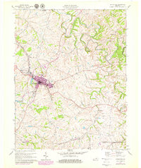
Editions of this 1972 Springfield Map
2 editions found
Other maps of this area

1953 · Mackville
USGS Topo · 1:24,000

1953 · Brush Grove
USGS Topo · 1:24,000

1953 · Gravel Switch
USGS Topo · 1:24,000

1953 · Maud
USGS Topo · 1:24,000

1953 · Saint Catharine
USGS Topo · 1:24,000

1953 · Lebanon East
USGS Topo · 1:24,000

1953 · Cardwell
USGS Topo · 1:24,000

1953 · Springfield
USGS Topo · 1:24,000

1953 · Lebanon West
USGS Topo · 1:24,000

1957 · Winchester
USGS Topo · 1:250,000