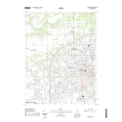
2021 Map of Springfield West
USGS Topo · Published 2021About this map
The legacy of the 16th President defines this portion of the Sangamon County landscape, anchored by the Lincoln Home National Historic Site and the Lincoln Tomb. This modern survey illustrates the dense residential and institutional fabric of Springfield and its satellite communities, including Leland Grove, Jerome, and Grandview. Educational and medical landmarks such as Benedictine University at Springfield and St John's College of Nursing appear alongside the expansive Abraham Lincoln Capital Airport.
Find a feature on this map
52 named features on this map. Tap any name to fly to it.
Don’t see what you’re looking for? This feature index may not catch every label — zoom into the map to look around manually.
Map Details
Editions of this 2021 Springfield West Map
This is the sole edition of this map. No revisions or reprints were ever made.
Other maps of this area

1907 · Springfield
USGS Topo · 1:62,500

1909 · Tallula
USGS Topo · 1:62,500

1922 · Divernon
USGS Topo · 1:62,500

1924 · Divernon
USGS Topo · 1:62,500

1924 · Waverly
USGS Topo · 1:62,500

1926 · Waverly
USGS Topo · 1:62,500

1930 · Springfield
USGS Topo · 1:62,500

1940 · Tallula
USGS Topo · 1:62,500

1940 · Springfield
USGS Topo · 1:62,500

1950 · Springfield West
USGS Topo · 1:24,000