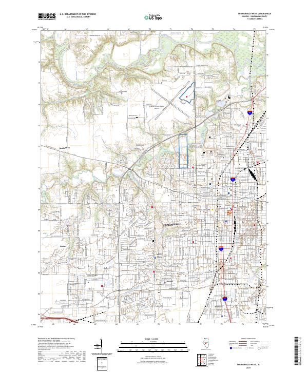
2024 Map of Springfield West
USGS Topo · Published 2024About this map
Springfield dominates this landscape, serving as a focal point for political and cultural heritage in central Illinois. The map captures the significant civic core of the state capital, featuring the Sangamon County Courthouse and the Illinois Supreme Court. Beyond the government buildings, the area is a vital site for historical memory, anchored by the Lincoln Home National Historic Site and the Lincoln Tomb situated within the expansive grounds of Oak Ridge Cem.
Find a feature on this map
231 named features on this map. Tap any name to fly to it.
Don’t see what you’re looking for? This feature index may not catch every label — zoom into the map to look around manually.
Map Details
Editions of this 2024 Springfield West Map
This is the sole edition of this map. No revisions or reprints were ever made.
Other maps of this area

1907 · Springfield
USGS Topo · 1:62,500

1909 · Tallula
USGS Topo · 1:62,500

1922 · Divernon
USGS Topo · 1:62,500

1924 · Divernon
USGS Topo · 1:62,500

1924 · Waverly
USGS Topo · 1:62,500

1926 · Waverly
USGS Topo · 1:62,500

1930 · Springfield
USGS Topo · 1:62,500

1940 · Tallula
USGS Topo · 1:62,500

1940 · Springfield
USGS Topo · 1:62,500

1950 · Springfield West
USGS Topo · 1:24,000