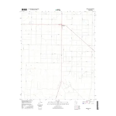
2016 Map of Springlake
USGS Topo · Published 2016About this map
Springlake serves as the primary hub of this High Plains landscape, situated at the intersection of several regional thoroughfares including Myrtle Ave and Fm 2080. The surrounding terrain in Lamb County is defined by an extensive grid of county roads, such as Co Rd 74 and Co Rd 179, which partition the agricultural acreage typical of the Texas Panhandle. A notable point of interest is Dent, located just west of the main settlement along the highway. This survey by the U.S. Geological Survey illustrates the structured land division of the era, where transportation is dictated by a rigid network of secondary routes like Fm 302 and Co Rd 219, reflecting the region's reliance on road-based commerce and farming logistics.
Find a feature on this map
21 named features on this map. Tap any name to fly to it.
Don’t see what you’re looking for? This feature index may not catch every label — zoom into the map to look around manually.
Map Details
Editions of this 2016 Springlake Map
This is the sole edition of this map. No revisions or reprints were ever made.
Other maps of this area

1954 · Clovis
USGS Topo · 1:250,000

1958 · Clovis
USGS Topo · 1:250,000

1962 · Amherst
USGS Topo · 1:24,000

1962 · Cofferville
USGS Topo · 1:24,000

1962 · Springlake
USGS Topo · 1:24,000

1962 · Fieldton
USGS Topo · 1:24,000

1963 · Earth
USGS Topo · 1:24,000

1963 · Olton
USGS Topo · 1:24,000

1963 · Dodd SE
USGS Topo · 1:24,000

1963 · Dodd
USGS Topo · 1:24,000