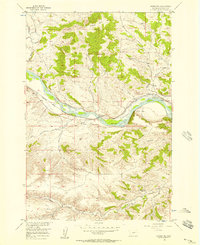
1955 Map of Springtime
USGS Topo · Published 1957About this map
The Yellowstone River cuts a wide path through this mid-century Stillwater County landscape, serving as the primary corridor for both natural and industrial movement. The Northern Pacific railroad tracks parallel the river's northern bank, passing through the small community of Springtime and the nearby siding of Craver. This alignment illustrates the historic reliance on river valleys for transcontinental rail routes through Montana's varying elevations.
Find a feature on this map
15 named features on this map. Tap any name to fly to it.
Don’t see what you’re looking for? This feature index may not catch every label — zoom into the map to look around manually.
Map Details
Editions of this 1955 Springtime Map
2 editions found
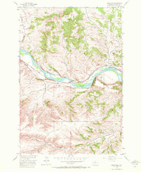
Other maps of this area
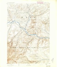
1891 · Big Timber
USGS Topo · 1:125,000
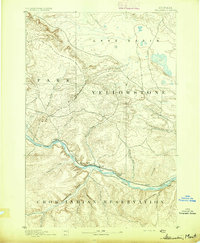
1892 · Stillwater
USGS Topo · 1:125,000
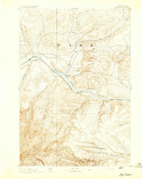
1893 · Big Timber
USGS Topo · 1:125,000
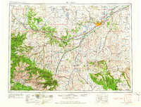
1954 · Billings
USGS Topo · 1:250,000
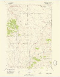
1955 · Antelope Point
USGS Topo · 1:24,000
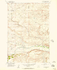
1955 · Sandborn Creek
USGS Topo · 1:24,000
1955 · Reed Point
USGS Topo · 1:24,000
1955 · Whitebird School
USGS Topo · 1:24,000
1955 · Absarokee
USGS Topo · 1:24,000
1955 · Stephens Hill
USGS Topo · 1:24,000