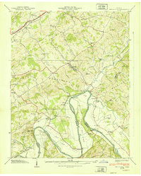
1939 Map of Springvale
USGS Topo · Published 1939About this map
The Nolichucky River winds through this 1939 landscape, defining the jagged border between Hamblen and Cocke counties. This era reveals a river-centered economy dependent on crossings like Susong Bridge, Cooper Bridge, and the Cane Ford. The Southern railroad parallels the Andrew Johnson Highway in the north, connecting small settlements such as Pineville and Springvale.
Find a feature on this map
69 named features on this map. Tap any name to fly to it.
Don’t see what you’re looking for? This feature index may not catch every label — zoom into the map to look around manually.
Map Details
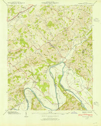
Editions of this 1939 Springvale Map
2 editions found
Other maps of this area

1883 · Morristown
USGS Topo · 1:125,000

1893 · Morristown
USGS Topo · 1:125,000

1895 · Morristown
USGS Topo · 1:125,000

1935 · White Pine
USGS Topo · 1:24,000

1935 · Rogersville
USGS Topo · 1:48,000

1935 · Tate Springs
USGS Topo · 1:48,000

1935 · Parrottsville
USGS Topo · 1:24,000

1935 · Springvale
USGS Topo · 1:24,000

1935 · Morristown
USGS Topo · 1:24,000

1935 · Russellville
USGS Topo · 1:24,000