
1938 Map of Springville
USGS Topo · Published 1938About this map
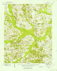
The Louisville and Nashville railroad cuts a diagonal path through Henry County, connecting the small community of Springville with the rail stop at Porters. This 1938 survey by the Tennessee Valley Authority reveals a landscape of small agricultural holdings and family-named landmarks concentrated around the drainage of West Sandy Creek and the Holly Fork. The density of rural infrastructure is striking, with numerous community centers such as Oakland Sch, Providence Sch, and the Sulphur Well Academy serving as anchors for the surrounding farmsteads.
Find a feature on this map
62 named features on this map. Tap any name to fly to it.
Don’t see what you’re looking for? This feature index may not catch every label — zoom into the map to look around manually.
Map Details
Editions of this 1938 Springville Map
2 editions found
Other maps of this area

1936 · Poplar Creek
USGS Topo · 1:24,000

1936 · Conyersville
USGS Topo · 1:24,000

1936 · Buchanan
USGS Topo · 1:24,000

1936 · Big Sandy
USGS Topo · 1:24,000

1936 · Mansfield
USGS Topo · 1:24,000

1936 · Centerville Landing
USGS Topo · 1:24,000

1936 · Manleyville
USGS Topo · 1:24,000

1936 · Paris
USGS Topo · 1:24,000

1936 · Springville
USGS Topo · 1:24,000

1940 · Manleyville
USGS Topo · 1:24,000