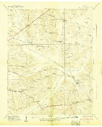
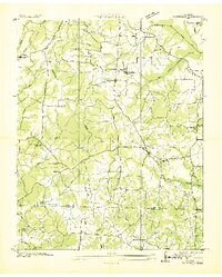
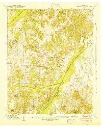
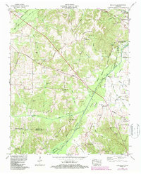
1938 Map of Springville
USGS Topo · Published 1938This historical map portrays the area of Springville in 1938, primarily covering Henry County. Featuring a scale of 1:24000, this map provides a highly detailed snapshot of the terrain, roads, buildings, counties, and historical landmarks in the Springville region at the time. Published in 1938, it is one of 2 known editions of this map due to revisions or reprints.
Find a feature on this map
62 named features on this map. Tap any name to fly to it.
Don’t see what you’re looking for? This feature index may not catch every label — zoom into the map to look around manually.
Map Details
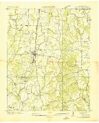
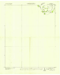
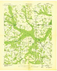
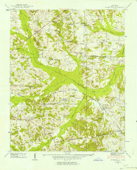
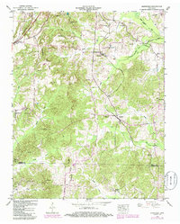
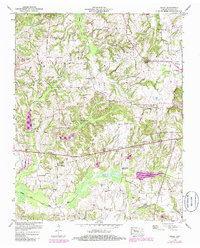
Editions of this 1938 Springville Map
2 editions found
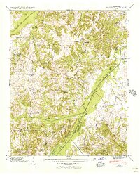
Historical Maps of Nobles Through Time
14 maps found

1936 Centerville Landing
Henry County, TN
1936 Conyersville
Henry County, TN
1936 Crossland
Henry County, TN
1936 Manleyville
Henry County, TN
1936 Mansfield
Henry County, TN
1936 Springville
Henry County, TN
1938 Springville
Henry County, TN
1940 Manleyville
Henry County, TN
1941 Manleyville
Henry County, TN
1950 Mansfield
Henry County, TN
1950 Osage
Henry County, TN
1950 Paris Landing
Henry County, TN
1965 Manleyville
Henry County, TN
1965 West Sandy Dike
Henry County, TN