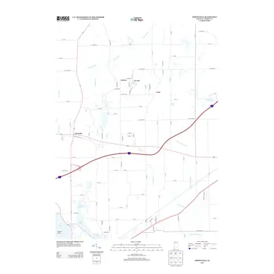
2013 Map of Springville
USGS Topo · Published 2013About this map
The Galena River and its tributary system, including Warwick Ditch and Moon Ditch, define the drainage and early settlement patterns of this northern Indiana landscape. Small communities like Springville and Lalimere are situated near these watercourses, connected by a network of county roads such as W Springville Rd and Wilhelm Rd. The area is characterized by a high density of water bodies, particularly to the south where Pine Lake, Fishtrap Lake, and Horseshoe Lake cluster together.
Find a feature on this map
83 named features on this map. Tap any name to fly to it.
Don’t see what you’re looking for? This feature index may not catch every label — zoom into the map to look around manually.
Map Details
Editions of this 2013 Springville Map
This is the sole edition of this map. No revisions or reprints were ever made.
Other maps of this area

1930 · Three Oaks
USGS Topo · 1:62,500

1944 · Three Oaks
USGS Topo · 1:62,500

1953 · Chicago
USGS Topo · 1:250,000

1957 · Chicago
USGS Topo · 1:250,000

1958 · Stillwell
USGS Topo · 1:24,000

1958 · Michigan City East
USGS Topo · 1:24,000

1958 · La Porte East
USGS Topo · 1:24,000

1958 · Springville
USGS Topo · 1:24,000

1958 · New Carlisle
USGS Topo · 1:24,000
1961 · La Porte West
USGS Topo · 1:24,000