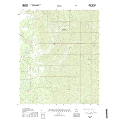
2018 Map of Sprott
USGS Topo · Published 2018About this map
The Cahaba River winds through the western reaches of this Perry County landscape, marking a terrain defined by bottomlands and the eastern boundary of the Talladega National Forest. Small settlements like Sprott and Osborn serve as local hubs, connected by a network of rural routes including Co Rd 64 and Co Rd 49. The area around Cleveland Mills shows a pattern of land use where forestry and small-scale agriculture meet the drainages of Camp Branch and Barnett Br.
Find a feature on this map
49 named features on this map. Tap any name to fly to it.
Don’t see what you’re looking for? This feature index may not catch every label — zoom into the map to look around manually.
Map Details
Editions of this 2018 Sprott Map
This is the sole edition of this map. No revisions or reprints were ever made.
Other maps of this area
1953 · Montgomery
USGS Topo · 1:250,000
1956 · Montgomery
USGS Topo · 1:250,000
1957 · Montgomery
USGS Topo · 1:250,000
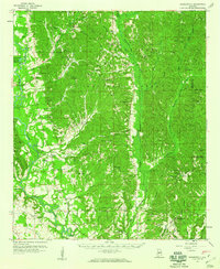
1959 · Summerfield
USGS Topo · 1:62,500

1975 · Summerfield SW
USGS Topo · 1:24,000
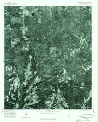
1975 · Summerfield SE
USGS Topo · 1:24,000
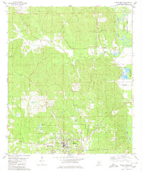
1979 · Marion North
USGS Topo · 1:24,000
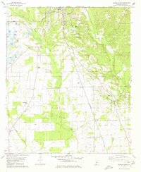
1979 · Marion South
USGS Topo · 1:24,000
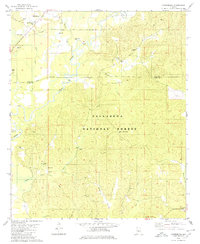
1979 · Harrisburg
USGS Topo · 1:24,000
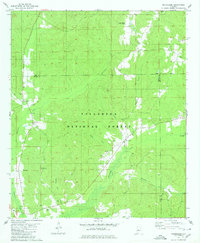
1980 · Oakmulgee
USGS Topo · 1:24,000